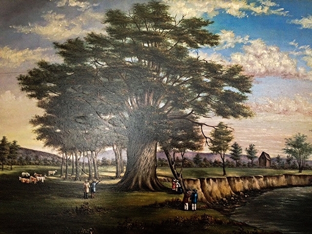
Big Tree Painting and Genesee River Flooding
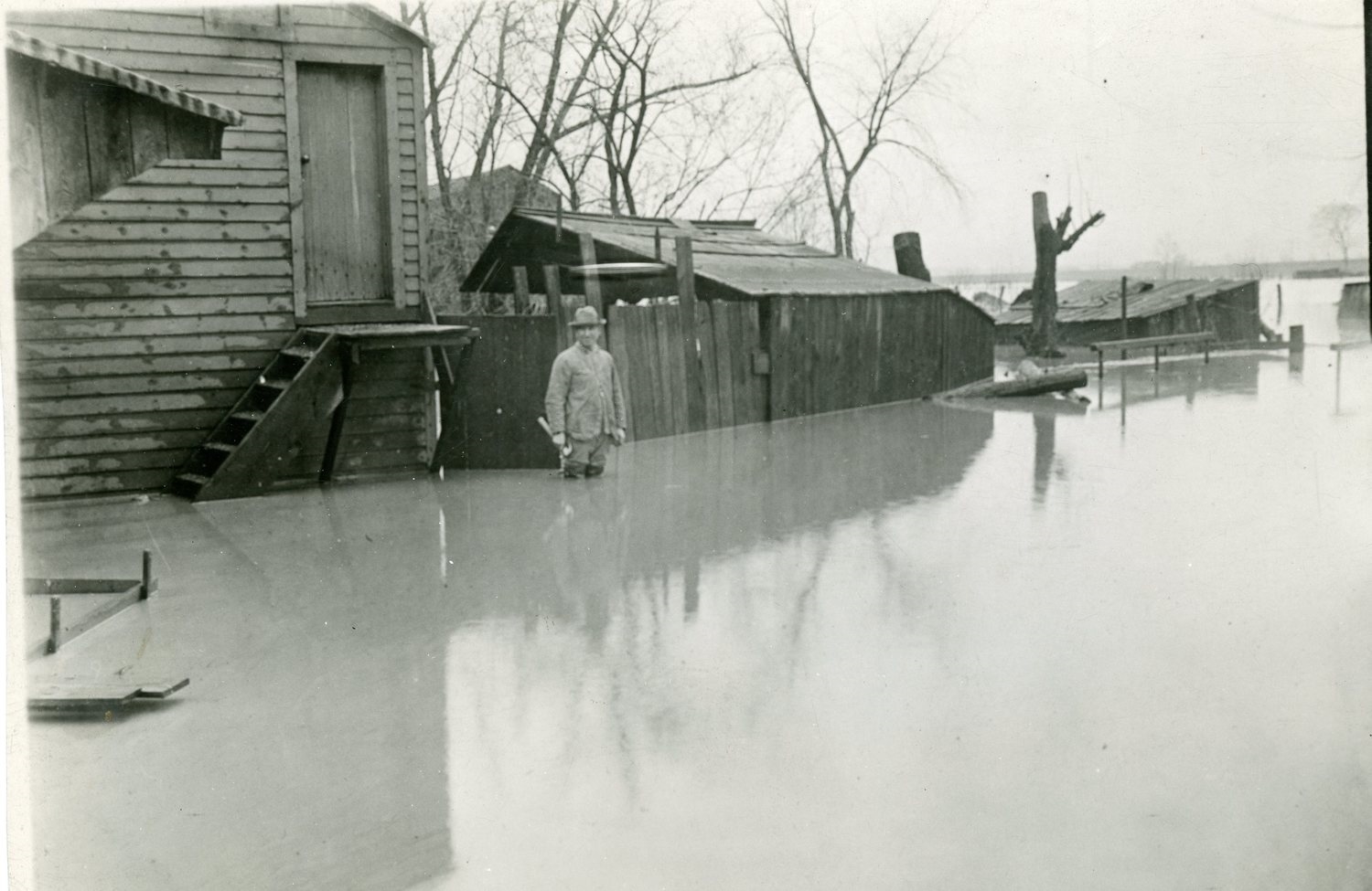

Spring floods on the Genesee River were a constant concern for much of the 19th and first half of the 20th century. This flooding largely ended thanks to the completion of the Mount Morris Dam by the US Army Corps of Engineers in 1952. This 1000 foot tall structure now regulates floods by releasing water gradually. The US government estimates that the dam has prevented more than a billion dollars in damages since it opened. What are the tradeoffs that we make for the increased safety and economic security that are provided by a major project like the Mount Morris Dam?